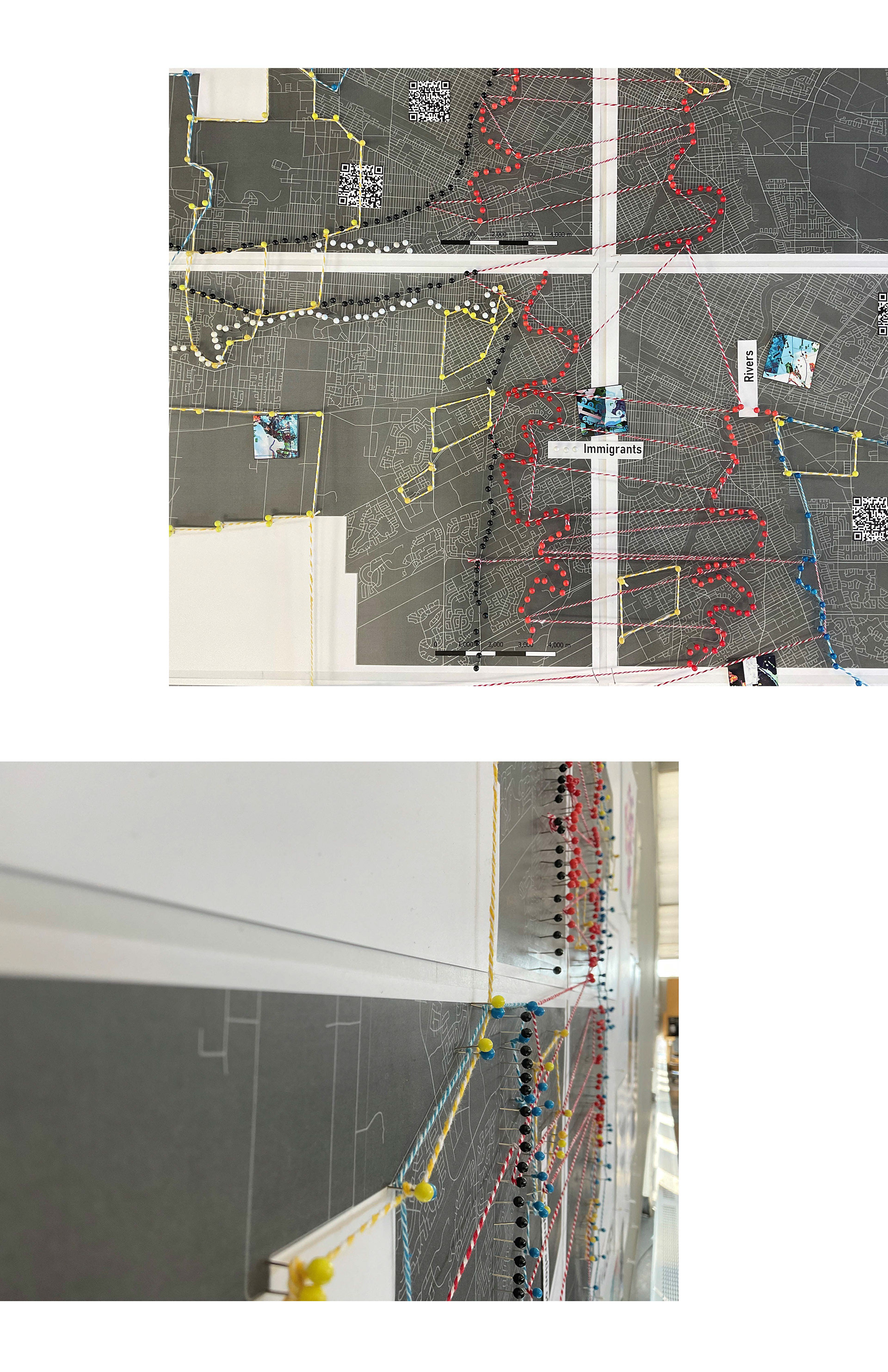
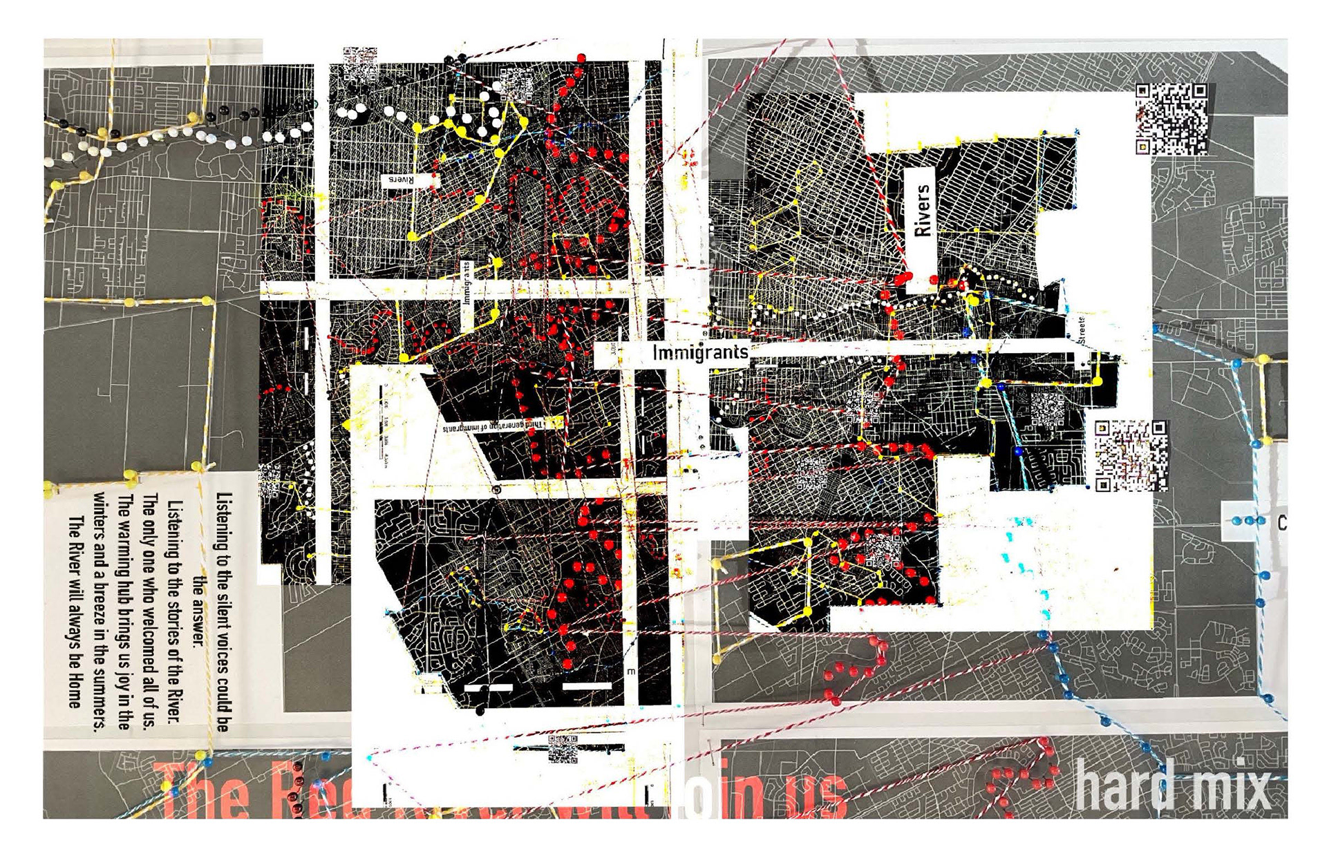
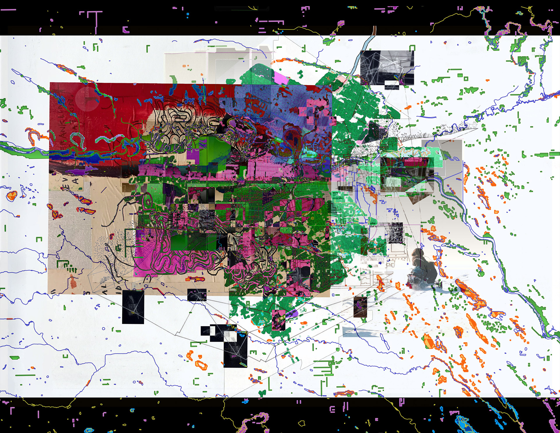
I view GIS Mapping as a creative tool for narrating stories over time. I take pleasure in blending maps and themes to craft collages that shed light on the realities of cities such as Baltimore, Maryland, and Winnipeg.


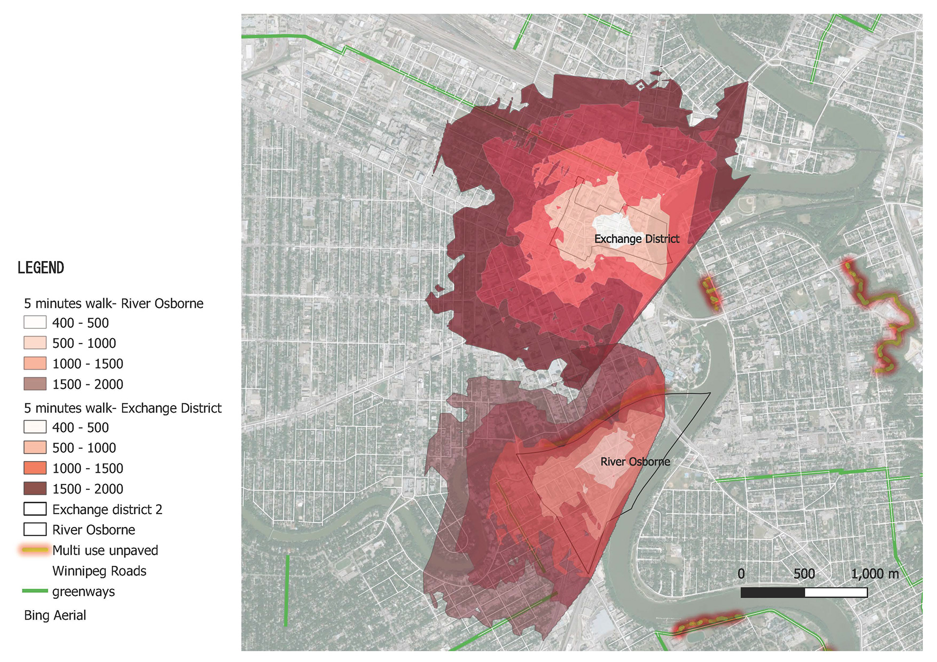
GIS: Manitoba


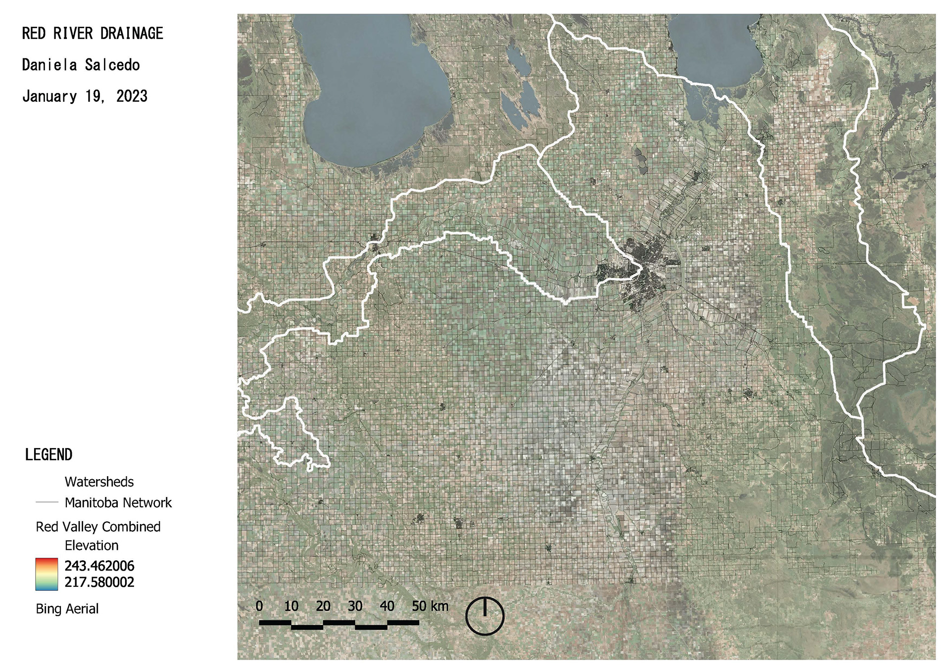
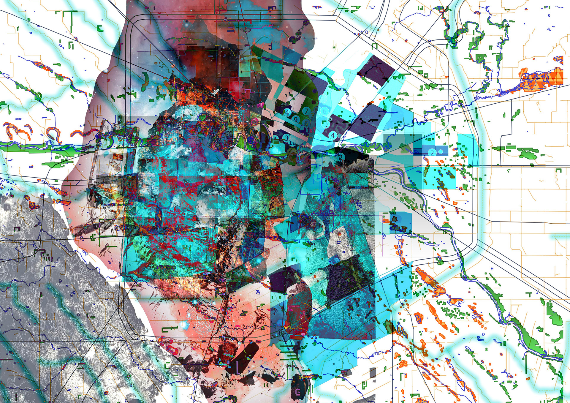
What better way to convey the urgency of the climate crisis than through the combination of GIS and art? They not only capture attention but also narrate the unfolding story of the demise of our water systems.
Climate Crisis
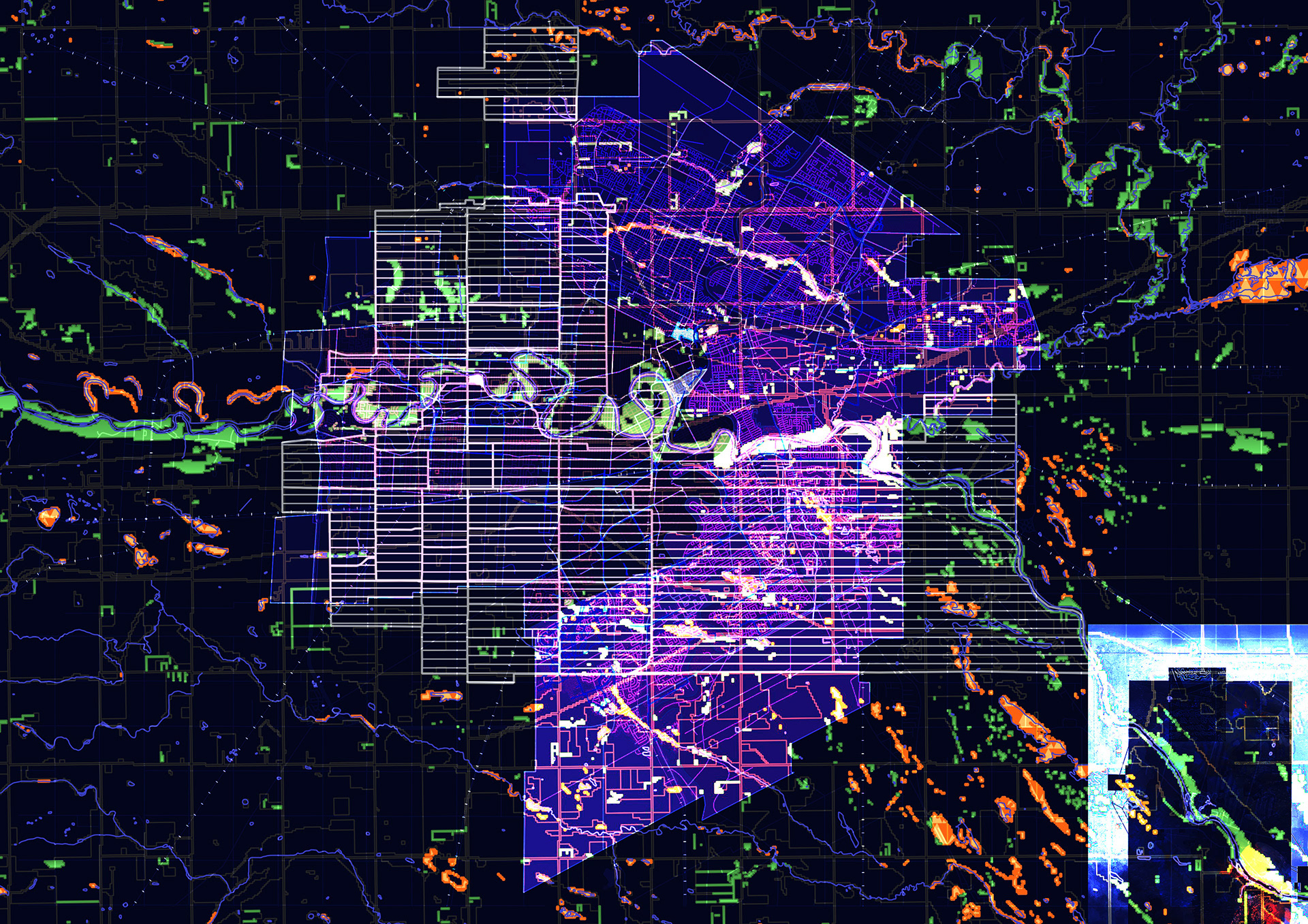
Rural Migration
Intervention tracking migration around Winnipeg's neighborhoods